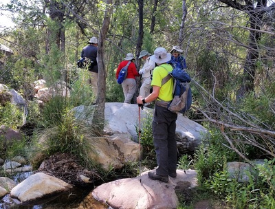
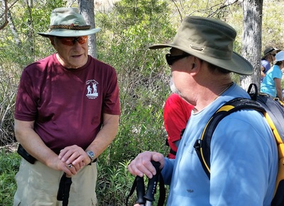
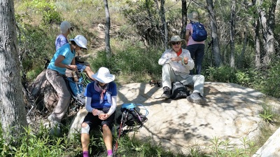
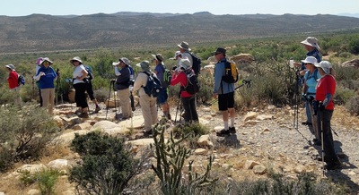
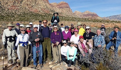
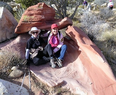
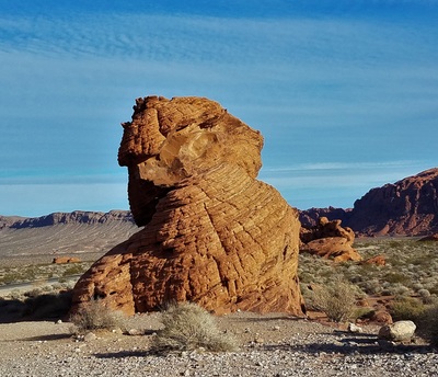
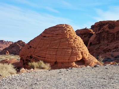
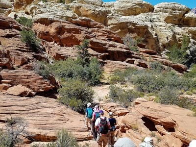
Hiking With Lone Mountain Hiking Club, Las Vegas, NV
Scroll all the Way Down for Latest Hike Information
The hiking coordinator is Ann Cronin. She can be reached at 737-5758 for more information about the Monday hikes.
Hiking Oct. 21, 2015
|
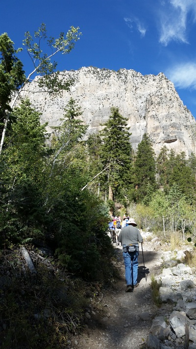
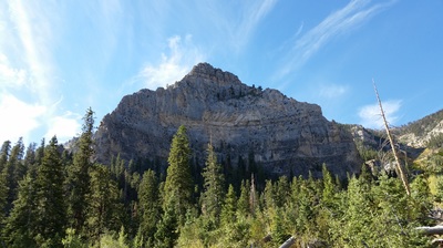
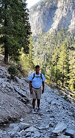
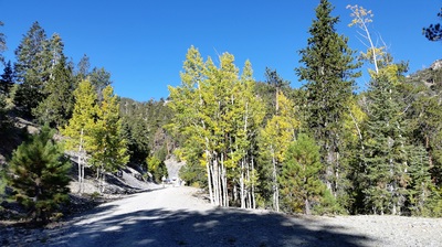
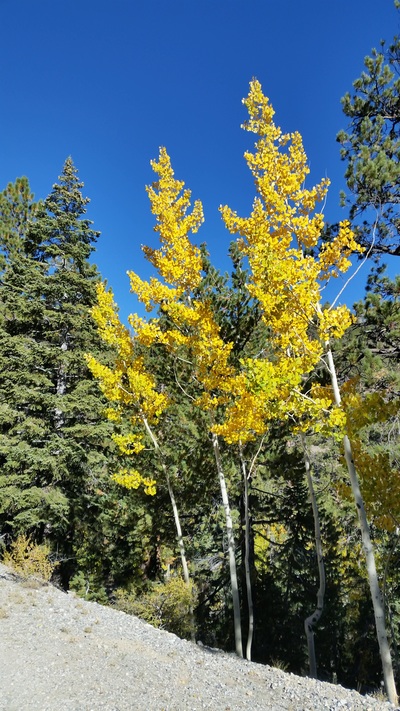
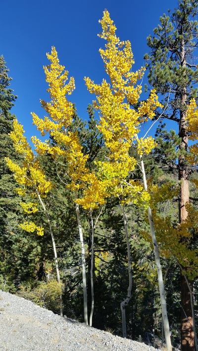
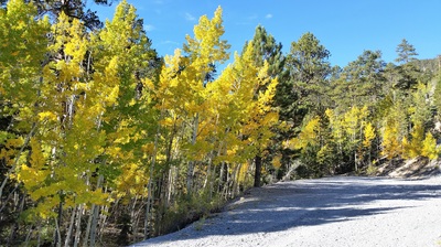
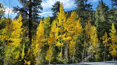
My first organized hike with the Sun City club The hike on Monday, Sept. 21, 2015, was in Kyle Canyon on the Cathedral Rock trail. This hike is an out and back of 3 miles r/t with elevation gain of 900 feet . The aspens along this trail were a blaze of gold ! The trail head parking lot was around 7,600 feet. Meeting place: Desert Vista (lower parking lot) Departure time: 8 a.m. Return time: 12:30 pm There was three separate hikes Wednesday on or around Lone Mountain prior to the breakfast. As there is continual construction around the Lone Mountain area, we had to make some changes to our normal routes. We meet at Desert Vista and left at 8:00 a.m. for Lone Mountain Picnic area on the East side of the Mountain. Once everyone gathered there, Ann talked about the different routes and how some changes needed to be made. Brian Dodd coordinated the North/South or South/North route, Terry Hirni coordinated the route up the West side, and Ann Cronin coordinated the partial around the base of the mountain. The Dodd hike had some exposure a little more strenuous. The hike that Terry coordinated was moderate up the West side and the hike Ann coordinated was the less strenuous one. The weather was great and a good time was had by all. Great breakfast was served after the hike. |
Hike Oct. 26, 2015
|
This is one of my favorite hikes. My cell had 5.22 miles on a lot of flat ground. The hike for Monday the 26th will be the last for the Mt Charleston area. The hike is a point to point walk down of Kyle Canyon from just above the community of Old Town down to the new visitor's center. This is a 5 mile hike down thru the community and campgrounds that run along the Kyle Canyon road. We will need to shuttle cars/hikers from the visitor's center to the starting point at upper Kyle Canyon. Cooler temperature with highs in the 60's so bring a long sleeve shirt/jacket. Meeting place: Desert Vista (lower parking lot) Departure time: 8:30 a.m. (due to Visitor Center opens at 9 a.m. for parking) Return time: 1:30 - 2 p.m. for your driver: $5.00 |
Hike Nov. 2, 2015
|
It is finally back to Red Rock for the Monday hikes! However, Nov. 2, 2015, the forecast is for strong windy conditions so if you have dust/allergy/breathing issues you should not be out hiking in the desert tomorrow. The hike will be a loop of approximately 4 miles r/t in Calico Basin from Red Springs parking lot over to Ash Canyon with minimal changes in elevation. Meeting place: Desert Vista Departure time: 8 a.m. Return time: 11:30 am or sooner depending on a tail wind. For driver: $2.00 |
Hike Dec. 7, 2015
|
The Monday , Dec. 7, 2015, hike was in Cottonwood Valley which is off Rt 160 several miles west of the junction of the Red Rock Hwy #159 and Pahrump Hwy #160. The hike started from the Late Night Trail head (used by mountain bikers) and followed a bike trail south and around a loop of approximately 5 miles r/t. The trail was rocky but with minimal elevation changes. Temperature in low to mid 50's with sunshine. The hike was shortened because of a member tripping and falling. After resting he was up and walking. |
Dec. 28, 2015 - Last Hike for 2015
Hike Mon., Jan. 11, 2016
Hiking Monday, Jan. 18, 2016
Hiking Mon., Jan. 25, 2016
|
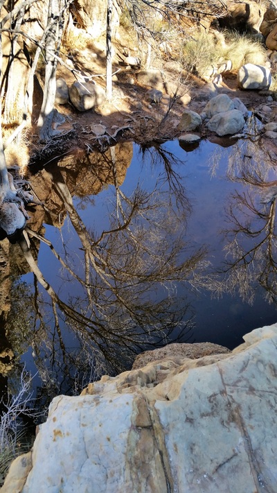
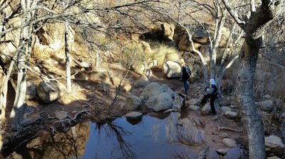
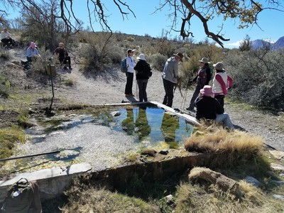
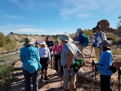
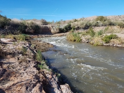
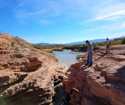
Photo left and top is a reflection in the water Due to the cold temperature, we started later at 9 a.m. The hike was in Red Rock at the First Creek Trail head for a partial loop of 3 miles r/t with minimal elevation changes. Great 4 mile hike with 40 hikers. The Monday, Jan. 18, 2016, hike was in the Lake Mead Natl Rec Area along the south lake shore drive. The hike was a point to point along the shore trail into Owl slot canyon for a distance of 4.5 miles with minimal elevation changes except for one hill climb up to the parking area at the end of the hike. A lot of this area was under water a few years ago. Very lovely day for a hike and the scenes were beautiful. The Monday, Jan. 25, 2016, hike was in Red Rock off the loop road at the Lost Creek trail head.
We hiked the SMYC trail to the junction with ice box canyon . This was an out and back hike of approximately 3 miles r/t with hilly terrain to go up and down and very, very rocky. Weather forecast was for cooler temp with winds out of the north/northwest at 10-15 MPH so we dressed accordingly. This was a tough hike through some very rocky areas. My cell showed 3.60 miles. |
Hiking Mon., Feb. 29, 2016
|
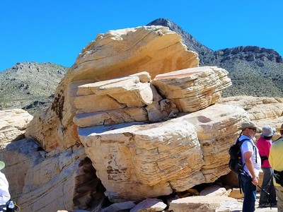
The hike Mon., Feb. 29, 2016, was in the Red Rock Canyon area off the loop road at the White Rock Spring parking lot to the Keystone Thrust area. This was an out and back hike of approximately 3 miles round trip with elevation gain of 400 ft. The trail was rocky with some light rock scrambling at the snack break area. Perfect sunny day with no wind and temps. in the high 60s. |
Wed., Mar. 9, 2016 Hike
|
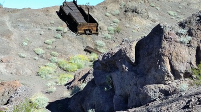
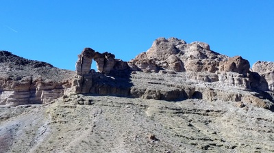
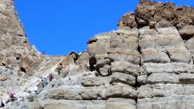
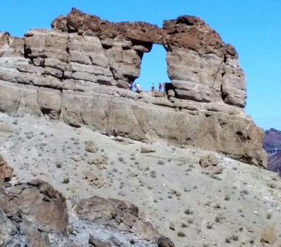
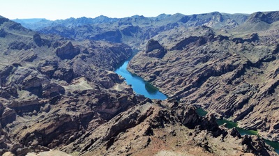
To the left is an old wagon used many years ago to mine some type of minerals. The Wed., Mar. 9, 2016, hike started at 7:30 AM with 24 hikers ready to carpool and head out. It was nearly an hour drive to start the hike. The hike was out by the Hoover Dam in Arizona. This was the toughest hike for me this season. Our goal was to hike up to the mountain called the Liberty Bell Arches. Six of our group hiked up to the liberty bell. I wasn't one of those brave souls. Our half way point was looking over the Colo. River. Here we stopped for snacks. When the Arches hikers joined us we headed back to the cars. This was a moderately strenuous hike with a moderate pace. The three miles back to the cars was where the 800 foot elevation gain took place. The weather was around 70 degrees with no wind. The coordinator of the hike was John Novicky. My cell said I hiked around 6.18 miles and registered over 14,000 steps. What a beautiful hike. The hot tub at 24-Hr. Fitness felt really good. Upper right you can see the hikers as they hiked up the Liberty Bell Arches mountain and waved to the rest of the hikers. To the left you can see some of the hikers heading to the Arches. |
Hiking with my group Mon., Mar. 14, 2016
Twenty-four hiking club members hiked Mon., Mar. 14, 2016, in Red Rock off the loop road at the Lost Creek trail heading up the front side of the white rock loop trail to the white rock area and back . This was an out and back hike. My cell showed 4.78 miles and over 11,000 steps with an elevation gain of 500 ft. Two hiking members hiked the entire white rock loop trail of over 6 miles. It started out cool with jackets, but ended without jackets, sunny skies and no wind. Thanks Ann Cronin for coordinating this hike.
Hiking Wed., Mar. 16, 2016
|
Around 60 hiked one of three routes this Wed., Mar. 16, 2016.
1. The most strenuous hike will be the South to North route, which includes some ridge walking and climbing with exposure. This hike will be coordinated by Brian Dodd. 2. The moderate hike will go up and down the trail on the West side of Lone Mountain. The hike starts up a fairly step trail to the ridge, which is followed to the summit. The coordinator of this hike will be Terry Hirni. 3. The easy to moderate hike will go around the base of Lone Mountain on the new horse track. The hike will be around 2.5 miles. The hike coordinator is Ann Cronin. I did the moderate hike and I showed 4.28 miles on my cell. An amazing day for a hike with temps. in the 60s, no wind and sunny skies. |
Hiking Mon., Mar. 21, 2016
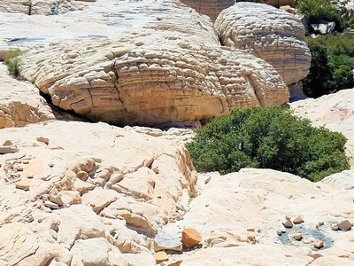
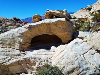
Mon., Mar. 21, 2016, hike with 20 members. The hike Mon. was out in Red Rock Canyon area off the loop road. The hike was a loop around Sandstone Quarry for approx. 3 miles r/t with a lot of rock scrambling ! The wind was very strong, cool and not much sun. A lot of dust was blowing around. Ann updated the hike to include an area that wasn't as much in the wind. My cell showed 3.50 miles and around 9,115 steps. Another great hike arranged by Ann Cronin.
Hiking with the Club Mon., Apr. 4, 2016
Mon., May 2, 2016 Hike
|
The hike Monday , April 4, 2016 was in Red Rock Canyon area off the main highway rather than the loop road. The hike was the Potato Knoll loop which is approximately 5 miles r/t on trail with minimal elevation changes unless you take the optional trek up to the top of Potato Knoll (400 ft). The trail started at the gravel parking lot at the exit of the loop road. About eight from the group made the hike up the Potato Knoll mountain. I wasn't one of that group. Twenty-nine members made the hike. My cell showed 4.86 miles. It was a sunny day with no wind and temps in the 70's. It was nice to see club member George Kertesy (far left) back hiking after his 10-ft. fall down a mountain a few months ago while hiking with the club. |
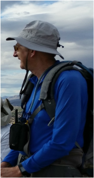
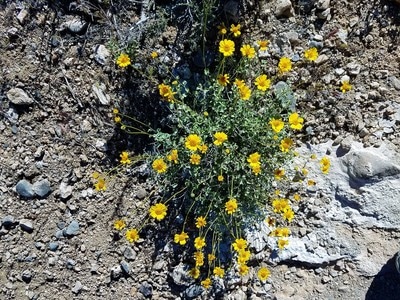
The Mon., May 2, 2016, hike was in the Calico Basin. The turn off is just before the Red Rock loop road. We started at the Red Springs picnic area and hiked over to Ash Canyon. Twenty-six Lone Mt. hikers made the 3.33 mile hike. The weather was in the 60s with sun and very little wind. Ann Cronin our leader made the hike extra interesting with her knowledge of the dessert flowers and bushes.
Great to have active club member Terry Hirni (right) back after dealing with some health issues. Always nice to know Terry is sweeping at the rear.
Mon., May 9, 2016 Hike
Mon., May 16, 2016 Hike
|
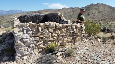
Thirty-two hikers showed up Monday, May 9th, 2016, for the Red Rock off the loop road at the Pine Creek trail head hike. The hike was a loop of approximately 3.88 miles r/t with a few hills to climb down and up and rocky wash to cross. There was lots of blooming wildflowers after all the rain. The temp was in the 60s to low 70s with sun and a light wind. Lone Mountain Hiking Club Pres. Susan Feinberg is in the far left photo. Club member Brian Williams is seen in the basement of an old building. |
|
The hike for Monday, May 15, 2016, was out to the Desert National Wildlife Refuge at the Corn Creek Visitor Center. The elevation at the visitor center is only 3000 ft. This was a very relaxing hike. A lot of interesting stuff to see and have Ann Cronin tell us about everything.
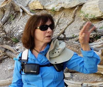
The 4 mile road to the visitor's center is now paved all the way. The Corn Creek station is located off Rt 95 north approximately 7 miles after the turnoff to Kyle Canyon (rt 157) and 5 miles before the turnoff to Lee Canyon. We toured the visitor center and then hiked the nature trails out back for a total mileage of 2.5 r/t. These nature trails are easy to walk and with minimal elevation changes. There is no fee to visit this area and it is a great place to bring your out of town guests/grandchildren. The weather was great with sun and a little wind and temps in the 70s. My cell showed 1.68 miles. Tell me the desert doesn't have some green. Thirteen made the hike. To the left is our very talented Monday coordinator Ann Cronin. She will answer all your nature questions. Like what's that to the far left of her? |
Mon., May 23, 2016
|
Top right: Steve Berman (right) and Barry Feinberg discuss how we'll get back down to the cars. The Mon., May 23, 2016, was in the Red Rock Canyon area off the highway at the First Creek Trail head.
Twenty-three hikers showed up for a great hike with temps in the 70s with no wind. It was a partial loop of approximately 3.6 miles r/t with minimal elevation changes. |
|
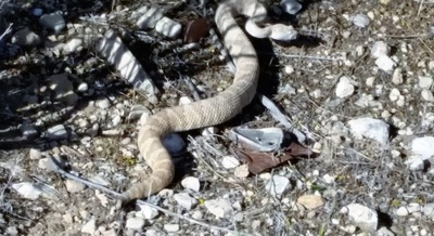
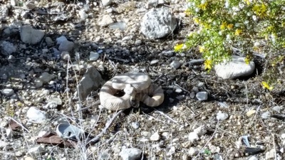
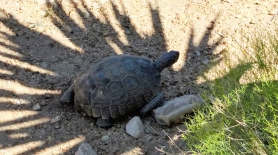
The hike for Memorial Day Monday , May 31, 2016, was in the Red Rock Canyon area at a location far from the crowded trails. The hike was in the Wheeler Springs/Oliver Ranch area located about 1 mile beyond the Bonnie Springs Ranch just off highway 159. We did this hike last November after returning from the Mt Charleston area. Twenty-four hikers made this hike in sunny 80 degree temps. The highlight of the hike was seeing a young rattlesnake (I almost stepped on) and a turtle. The hike was a 3.68 mile loop with minimal elevation changes. The coordinator was Ann Cronin |
Mon., June 13, 2016 Hike
The hike on Monday 13,2016, was in the Fletcher Canyon trail area, which is located off the Kyle Canyon road a few miles up from the visitor's center. The hike is an out and back 4.21 miles r/t with a gradual elevation gain of around 700 ft. The elevation at
the trail head parking lot is 6,950 ft. Weather was in the 60's to low 70's. It was a perfect hiking day with sunny skies and shade areas.
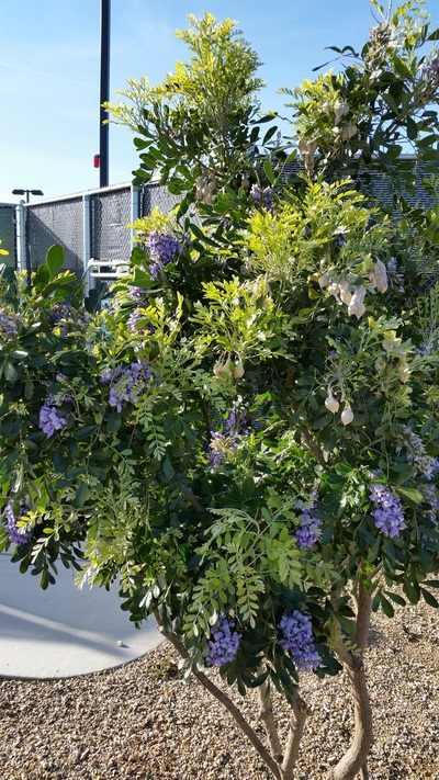
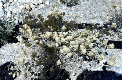
The tree pictured below (right) was called a "Butterscotch" tree, which we all had to go and smell the tree. And our leader Ann was again right.
the trail head parking lot is 6,950 ft. Weather was in the 60's to low 70's. It was a perfect hiking day with sunny skies and shade areas.
The tree pictured below (right) was called a "Butterscotch" tree, which we all had to go and smell the tree. And our leader Ann was again right.
Mon., June 20, 2016 Hike
|
Seventeen hikers made the hike on Mon., 20, 2016.
We left the parking lot at 7 AM to avoid the 100 + temps forecast for Vegas. The hike was off the Deer Creek Highway along the old roadway. My cell showed about 3.61 miles out and back with elevation loss/gain of 600 ft. The elevation at trailhead parking lot where we started is approx. 8,300 ft. It was a great hike coordinated again by Ann Cronin. The hikers were glad to be back by 10:30, as it was in the 100's when we arrived at the parking lot. |
Mon., June 27, 2016 Hike
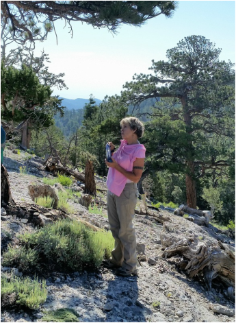
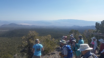
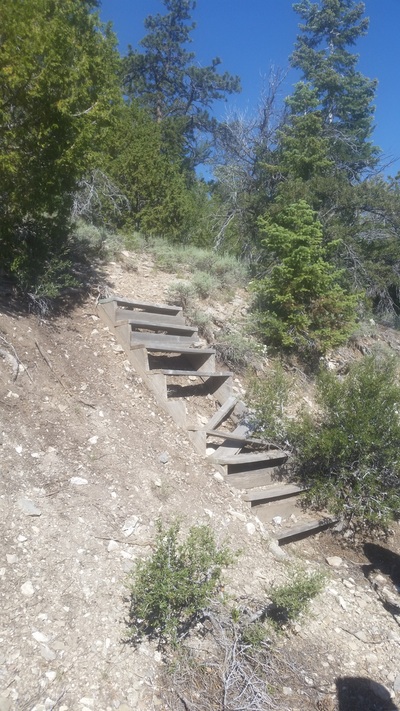
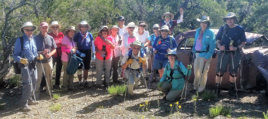
Eighteen hikers made the Mon., June 27, 2016 hike off the Deer Creek Hwy at a starting elevation of approximately 8,300 ft. This was a loop of around 2.68 miles r/t with gain of around 600 ft. We entered the lower part of Wild Horse Canyon and hiked part way up to the crossover trail and connected with the Wild Horse ridge and over to the Deer Creek picnic area. Temperature at the start of the hike was in the high the low 70's with strong sunshine and some shade along the way, so extra water/fluids was needed!
Once again the hike was coordinated by Ann Cronin.
Meeting place: Desert Vista
Departure time: yes 6::30 a.m. Because of the high expected temps.
To the right is the "life of the party" hiker Jeannie Petrie.
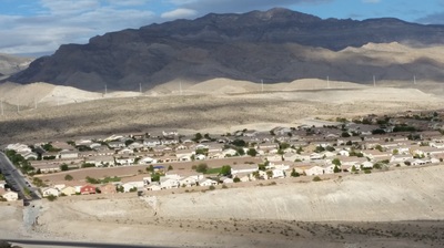
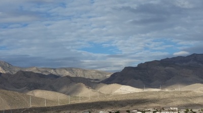
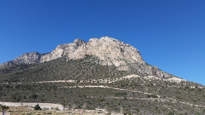
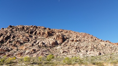
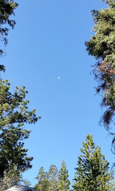
Notice the moon (below, top left) and the horses we noticed as we got ready to leave the parking lot (bottom right). . . .that is not snow on the mountains in the middle photo.
Monday, July 11, 2016 Hike
|
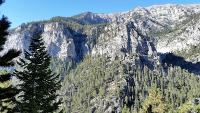
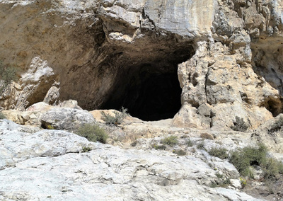
The Mon., July 11, 2016 hike was to MARY JANE FALLS (off of Kyle Canyon in the Mt. Charleston area). The hike started with a gradual incline before hitting the switchbacks that lead up to Mary Jane Falls. There were several switchbacks but was a fairly gradual incline. The round-trip was about 3.5 miles with a 900 foot elevation gain and a moderate pace. The temperatures was in the upper 70s with a slight breeze. There was a great view of the valley and a cave, which one hiker went to explore. Everyone carried extra water. We left the Desert Vista lot at 7:00 a.m.
Top (right) is Mt. Charleston. Four of our hiking club members today hiked to the top of this Mt. Club member Peggy Calhoun made the hike for the first time. This is a huge goal to hike this Mt. of some 5,000 ft. elevation gain. The two photos (second row down) are of Mary Jane Falls creating a stream below. Here we stopped for our snack break. To the left is our hike coordinator Diane Penman. Looks like she's counting to see if all 12 hikers are present. |
Monday, July 18, 2016 Hike
|
The Monday, July 18 hike was in the Lee Canyon area by the ski resort on the Upper Bristlecone Trail. The hike was an up & back for approx. 5.4 miles r/t unless some folks would like to hike the entire loop of 6 miles. Six from the group did this longer higher hike. The elevation at trailhead is around 8,700 ft., so the larger group on the shorter hike ended up at about 9,300 ft. The weather conditions were windy, sunny and temps in the 70's for seventeen hikers. We departed from the Desert Vista (lower parking lot) at 7 A.M. and returned at 12:30 P.M. Our hiking leader was Ann Cronin. |
Monday, August 8, 2016 Hike
The Monday, August 8, 2016, hike was in the Deer Creek Picnic/cabin area. A partial loop of 3.68 miles r/t. With elevation gain of 700 ft. and 70 degree temps. Elevation at trail head is 8300 ft. We found a lot of the roads covered with rocks and trees from the hard rains in the area over the last few weeks. Workmen were busy picking the rocks of the roads and blades working also. We noticed a number or washouts and trees toppled over. Twelve hikers made the hike. Again our hiking leader was Ann Cronin.
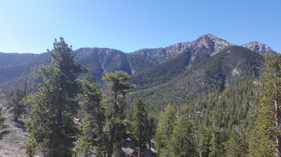
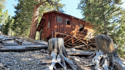
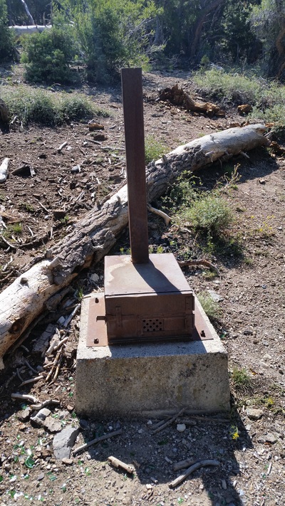
A few hikers thought some of these places would make good "fixer uppers" until they noticed the "For Sale" sign and the price of the land. The photo of the mountains actually has a house built on the side. Another photo is of an old steel stove.
A few hikers thought some of these places would make good "fixer uppers" until they noticed the "For Sale" sign and the price of the land. The photo of the mountains actually has a house built on the side. Another photo is of an old steel stove.
Monday, Aug. 29, 2016 Hike
Sixteen hikers made the Monday, Aug 29, 2016 hike. The hike was in Kyle Canyon on the Cathedral Rock trail. This was an out & back of 3.83 miles r/t with gain of approximately 900 ft. Elevation at trail head is around 7,600 ft. We left at 7 AM. The weather was great with a little wind and some shade. One car had a flat tire on the way out. They fixed it themselves. The hiking leader was Ann Cronin.
Monday, Sept. 9, 2016 Hike
Mon., Sept. 19, 2016 Hike
Twenty hikers made the Mon., Sept. 19, 2016, hike. It was in the Lee canyon starting from the Lower Bristlecone trail and up to the Old Mill trail then down and onto the South Sister saddle trail and back out thru the old mill picnic area. This was very pretty, as the Aspens were changing colors. Elevation at parking lot 8,600 ft. with a gain of approx. 600 ft. This was a loop hike. My cell showed 3.7 miles and around 9,100 steps. Our coordinator was Ann Cronin
Mon., Oct. 10, 2016 Hike
|
Thirty hikers made the Mon., Oct 10, 2016, hike. It was off the Lee Canyon highway 158 at the Sawmill picnic Area. The loop was approx. 3.8 miles r/t Elevation at the parking lot is 7500 ft and the Gain was around 500 ft. This is the Champion Canyon/road hike . This is a great hike with lovely temps. The hiking leader was Ann Cronin. Thanks to Fred Carson for taking these photos. |
Group Hike Wed., Oct. 19, 2016
A Great Breakfast had After Hike
|
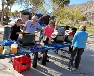
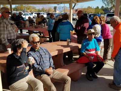
After the hikes the group gathered for breakfast back at the picnic area around 10:00 a.m. for a great meal. The hikes were great, but the wind was very strong.
|
The group for Wed., Oct. 19, 2016, met at the lower level Desert Vista parking at 8:00 a.m. There was three different hikes offered once we get to the Lone Mt. picnic area:
1. The first option was walking the three miles around Lone Mountain on the new horse trail. This was a moderately easy hike and the coordinator will be Diane Penman. 2. The second option was taking the traditional route up the West side of Lone Mountain. I did this hike which was around 2 miles. The moderate hike was coordinated by Ann Cronin. 3. The third option went along the ridge from North to South or South to North. This is a more strenuous hike with some exposure coordinated by Brian Dodd. |
Monday, Oct. 31, 2016
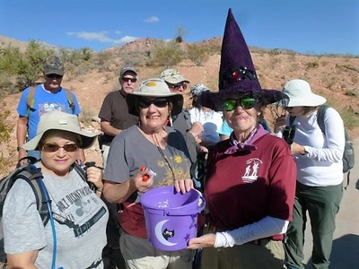
Thirty-six hikers made the Mon., Oct. 31, 2016 (Halloween Monday) hike. We returned to the Red Rock after hiking in the Mt. Charleston area during the summer months. A few had on costumes and Ann Cronin handed out treats. Perfect day for hiking with temps in mid 60's, no wind and a lot of sun. The hike was in the Calico Basin starting at the Red springs parking lot. The hike was a loop over to the ash meadows area. Mileage is 3.5 r/t. Terrain was rocky with up/down elevation changes.
Our hike leader was Ann Cronin.
Thanks to club member Fred Carson for sharing some of his below photos.
Our hike leader was Ann Cronin.
Thanks to club member Fred Carson for sharing some of his below photos.
Monday, Nov. 7, 2016 Hike
|
The hike on Monday Nov 7, 2016, was in Red Rock loop road at last pull out at the Oak Creek Trail head. The hike was a loop of 3.5 miles r/t. Utilizing 3 trails: the Arnight, Knoll, & Oak Creek. The trails are narrow, very rocky along rolling Terrain. Thirty-two hikers made the hike in sunny, warm temps and no windy. Our leader was Ann Cronin. |
Mon., Nov. 14, 2016 Hike
Thanks to club member Fred Carson for taking the above photos
|
The hike on Mon., Nov 14, 2016 was in the Red Rock area off the loop road at the lost creek/discovery trail head. We hiked the SMYC trail to the Ice Box canyon overlook. The trails were very rocky with several hills to climb up & back. Mileage was approximately 3.6 r/t. Temp was in the 70s with sun and very little wind. Leader Ann Cronin |
Mon., Dec. 5, 2016 Hike
|
The hike for Mon., Dec 5, 2016, in Red Rock area. At the First Creek trailhead located off the highway. Not the loop road. The hike was a partial loop of 3.4 miles r/t. with minimal elevation changes. It was one of those beautiful day for a hike with sun, no wind and temps in the 40s. Thirty-one hikers made the hike. Our leader today again was Ann Cronin. The hiking photos to the left were taken by club member Fred Carson. |
Club Awards Presented at Dec. Hiking Meeting
Monday, Dec. 12, 2016 Hike
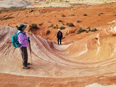
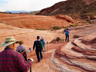
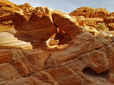
The Mon., Dec. 12, 2016 hike was in the Valley of Fire area, which is a Nevada state park approximately 65 miles Northeast of Las Vegas off I-15 at exit 75. The hike is a loop of 4 miles thru 4 slot canyons. Most of the terrain is very sandy and rocky with some rock scrambling required. This was an amazing hike with great weather. The view during this hike is unbelievable. You just can't explain the sites. This is right up there as one of my favorite hikes. Leader was Ann Cronin
Monday, Dec. 19, 2016 Hike
|
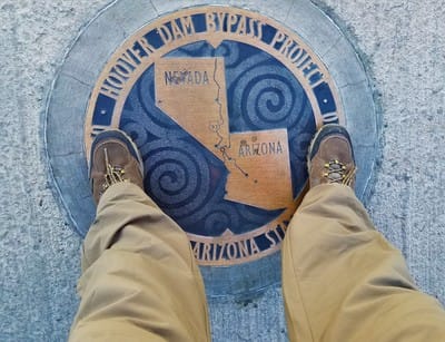
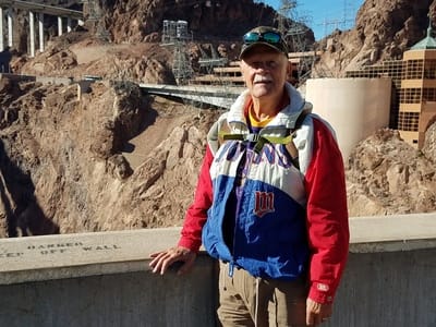
The photo at the left I have one foot in Nevada and the other in Arizona. Pretty neat . . . . The hike Monday Dec 19, 2016, was in the Lake Mead area at Hoover Dam and Bridge. This was our annual trek across the bridge and down to the dam. Most of the hike is on pavement for less than 3.45 miles r/t with elevation loss and gain of 200 ft. A lot of step climbing. Temperature were in the low 40's with a breeze out of north, so a hat, gloves and warm jacket were needed. The wind blowing as we walked across the bridge was COLD. All the hikers really love this hike. Hike leader Ann Cronin |
Mon., Jan. 16, 2017 Hike
|
The hike for Mon. ,Jan 16th was out in Henderson in the Sloan Canyon National Conservation area. This area is approximately 32 miles from Sun City. The hike was around 5 miles r/t loop thru a rocky wash and a climb up several dry falls and into the Petroglyph Canyon. Twenty-eight hikers made the ride in seven cars to start the hike. At the start it was cool, but at the end it was comfortable. Group leader was Ann Cronin |
Mon., Feb. 20, 2017 Hike
This was the first Monday hike for awhile, as the weather has been bad a number of Mondays.
Thirty-two hikers gathered for our Mon., Feb. 20, 2017 hike. It was a cool, cloudy and breezy morning as our hike stated. Light jackets came in comfortable. There was a chance of rain, so our hike started at 9 AM. The hike started from the Equestrian Park at the intersection of West Cheyenne and Cliff Shadow Pkwy just off the 215 freeway at the Cheyenne exit. The hike was a loop of approximately 4 miles R/t in rocky washes and mountain bike trails. Elevation will go Up & down a lot. Everyone had a great time. Such a nice place to hike and a short drive from Vegas. Ann Cronin was our leader again.
Thirty-two hikers gathered for our Mon., Feb. 20, 2017 hike. It was a cool, cloudy and breezy morning as our hike stated. Light jackets came in comfortable. There was a chance of rain, so our hike started at 9 AM. The hike started from the Equestrian Park at the intersection of West Cheyenne and Cliff Shadow Pkwy just off the 215 freeway at the Cheyenne exit. The hike was a loop of approximately 4 miles R/t in rocky washes and mountain bike trails. Elevation will go Up & down a lot. Everyone had a great time. Such a nice place to hike and a short drive from Vegas. Ann Cronin was our leader again.
Hike Monday, March 6, 2017
Monday, March 13, 2017 Hike
|
Twenty-one hikers headed out March 6, 2017, to the Red Rock area off the loop road on the front side of the White Rock loop trail beginning at Lost Creek trail head parking lot and cross the road to access the White Rock trail. This is an out & back hike of 4.75 miles r/t with lots of ups & downs on a rocky trail and old roadbed. It started out a cool morning with temps. in the 40s. Jackets, gloves and hats were the gear for all hikers. Then it warmed up, so we soon shed out jackets. Your hike coordinator was Jeanie Petrie. |
Hiking on Mon., Apr. 3, 2017
|
Thirty-one hikers made the hike on Monday, March 13, 2017. The hike was in the Lake Mead Natl Rec area. A federal park pass and photo ID was needed per car. The hike was a loop of 5.5 miles r/t along the shore line of the wash on the fisherman's trail. And into owl canyon. The last 2 miles will be on pavement. Elevation changes are minimal. Seven cars carried the hikers the 45 min. drive. The temp. was in the 70s when we completed the hike. Ann Cronin was our hike leader. |
|
Thirty-one hikers made the Monday, April 3, 2017, hike in the ridge line that runs parallel to one of the main washes in the community of Calico Basin. This was a loop hike of approximately 3 miles r/t on rocky trail as well as sandy wash. The weather was beautiful for a hike. Hike leader was Ann Cronin. |
Hike Mon., Apr. 17, 2017
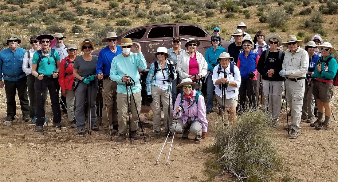
The hike on Mon., Apr., 17, 2017 was in the Oliver ranch loop of approximately 3.5 miles R/t with minimal elevation gain. This hike started off the red rock hwy just before the Community of Blue Diamond at the Wheeler Springs parking lot. It was very windy during the hike of which 25 hiked. Our leader was Ann Cronin. Ann pointed out many beautiful flowers along the trail.
Monday, May 1, 2017 Hike
|
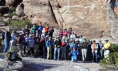
Thirty-five hikers made the Mon., May 1, 2017, hike in Red Rock on the loop road at the Sandstone Quarry trail head. This was a 3.5 mile r/t loop around & thru the Sandstone area along rocky trails in gravel washes. There was some "light" rock scrambling. Temperatures were in the 70's with a lot of Sunshine, water was important to have along. We again departed from the Desert Vista parking lot. We departed at 8 AM returned around 12 noon. Ann Cronin was again our leader. Our leader again pointed out all the beautiful flowers. Thanks to club member Terry Hirnia for the group photo. |
