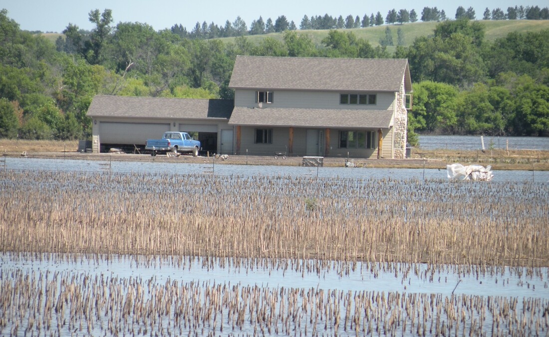
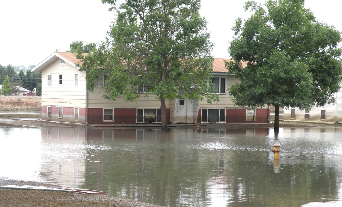
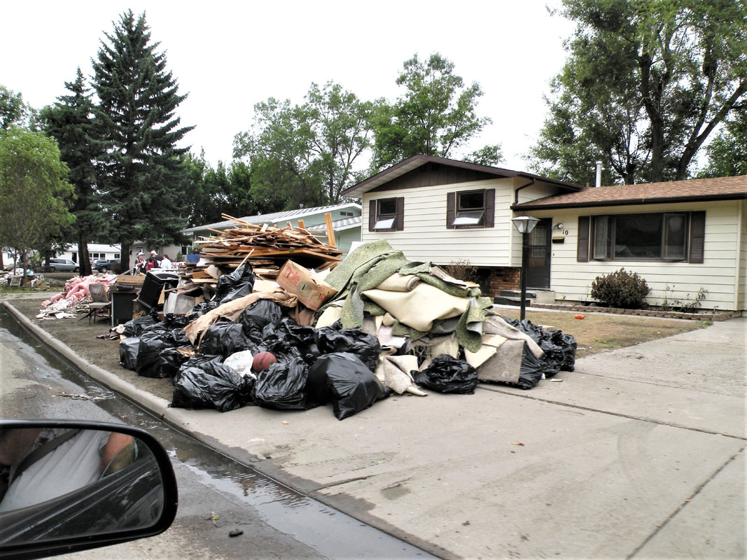
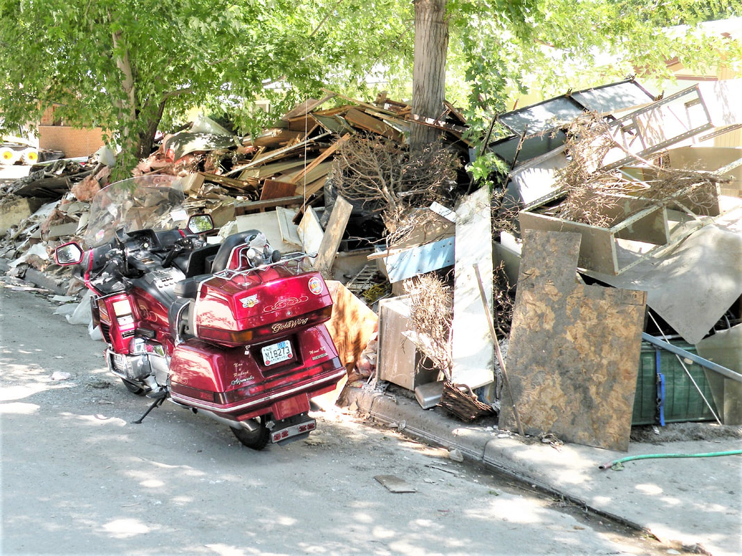
Minot, ND, Flood in 2011 Scroll Down for More Photos.
You can always contact me at [email protected] with comments.
By A.G. SULZBERGER
JUNE 22, 2011
MINOT, N.D. — The city and surrounding valley faced a new round of hurried evacuations as local leaders reported that far more water was coming far sooner than earlier record-breaking estimates. The expected surge of water, which was raised an additional three feet to about eight feet above the 130-year-old record, was moving much faster than expected with peak levels expected to hit the city by Saturday. And with rain in the forecast, the levels could rise even higher.
"We're seeing the water rushing in right now," Curt Zimbelman, the mayor of Minot, said in an interview on Thursday. "We're taking a helicopter up later today to take a look, and I'm really concerned with what I'm going to see."
From the Broadway Bridge, the main thoroughfare that links to the two sides of the city, sections of the levee were being overtopped Thursday, and part of a residential area was sitting in water. Water had risen up to the doors of houses in the evacuation area in the center of the city and had submerged some cars as well. As news of the new evacuations spread on Thursday, residents and business scrambled to figure out what’s next.
The first time rising waters forced a quarter of the residents here to abandon their homes several weeks ago, many of them simply hauled their possessions up to their second floors to keep them dry. But as the river that divides downtown began rising to record levels this week, those same homeowners confronted a sobering realization: the second floor might not be high enough.
This city is bracing for a powerful surge of water predicted to break records by as much as five feet. As sirens blared, more than 11,000 residents evacuated their homes on Wednesday for the second time in a month, this time with the grim assurance from local leaders that the river would overtop levees in a matter of hours and swamp a huge section of the city for weeks. And, right on schedule, the fast-moving water started pouring over defenses that had kept the city dry for more than six decades.
KIM FUNDINGSLAND
Minot Daily News
May 28, 2016
MINOT — The most devastating flood ever to hit Minot occurred in 2011. River levels never before experienced in the Souris River Valley damaged thousands of homes, striking a severe blow that pushed countless residents into temporary living quarters or forced them to leave the area entirely.
For some, recovery continues to this day, the Minot Daily News reported. For many others, recovery has not been possible, due either to the extent of damage or the strain on finances. The hopes and dreams of many were washed away.
What follows is a look back at a critical time when the flood was developing and what can be interpreted as a failure on several fronts to fully cope with an obvious and impending problem.
By May 2, 2011, there were numerous indications that Minot and the Souris River Valley were on track to experience historic flooding. Rafferty Reservoir near Estevan, Saskatchewan, was eight feet higher than its previous record high level and a mere two feet from overflowing. The capacity of Rafferty is approximately five times that of Lake Darling, the last reservoir on the Souris before it flows into Minot. Local flooding was being reported in Estevan.
Boundary Reservoir, an impoundment that is smaller than Rafferty but connected to Rafferty by a diversion channel, was within 2 1/2 inches of spilling. Boundary is fed by Long Creek, a tributary of the Souris that was experiencing record flows.
On May 2, 2011, the Souris was flowing at 4,570 cubic feet per second at the Boy Scout Bridge west of Minot. Lake Darling was releasing 3,800 cfs. The U.S. Army Corps of Engineers announced it would be reducing Lake Darling output to 3,000 cfs despite the knowledge of vast amounts of water upstream.
Two days later, Saskatchewan releases from Rafferty and Alameda reservoirs were increased to 3,530 cfs, easily pushing the Sherwood river gauge over the previously announced goal of 3,200 cfs.
"We expected that news. It was just of a matter of when," said Alan Reynolds, Ward County's emergency manager.
By May 5, it was clear there was a historic amount of water reaching the Souris. All goals regarding the spring melt had been met or exceeded and were expected to go much higher. Lake Darling releases remained at 3,800 cfs, not the 3,000 cfs announced by the Corps.
"There's still a lot of unknowns in regard to the amount of water that may come down from Canada," warned Tony Merriman, National Weather Service, Bismarck.
On May 10, the Minot Daily News visited Rafferty Reservoir to assess the situation. At the time, releases from Saskatchewan dams were nearly 5,000 cfs. Rafferty and Boundary were declared "pass through" facilities and the Saskatchewan Watershed Authority issued a flood advisory for the Souris Basin. Flows of 7,000-10,000 cfs were being predicted at the Sherwood reporting point on the Souris. Weather forecasts called for rain. Lake Darling releases were cut to 3,500 cfs.
Unable to keep pace with inflows, the Saskatchewan dams increased their releases to 8,472 cfs, much more than Minot or Lake Darling could hope to handle.
"I've lived here forever and I've never seen anything like this," Clint Dougherty, Estevan, told the Minot Daily News.
The same day, the National Weather Service warned all Souris River locations to prepare for one of the lengthiest water events in history. A new NWS flood outlook substantially increased crest levels all along the Souris. Lake Darling releases were upped to 4,000 cfs with an announced plan for 5,000 cfs in the coming days.
The flow at the Boy Scout Bridge hit 5,940 cfs and flood stage was reached at Minot's Broadway Bridge. It was just the beginning with much more water to follow, yet little was being done to increase protection in Minot or by city and county officials to warn citizens of the possibility of record flooding.
On May 12, the Saskatchewan dams were forced to increase releases to 9,390 cfs. They were simply unable to keep up with record inflows. The Souris was ripping along at 6,610 cfs at Broadway Bridge, a higher flow than what much of the diking in the city was believed able to contain.
"Rafferty is full. Boundary is full. Long Creek is running high and Alameda will be full. Lake Darling is expected to fill. When you add them all up it's pretty ugly," said Allen Schlag, NWS hydrologist.
"There's no stopping the water," added Reynolds. "There's just no way around it."
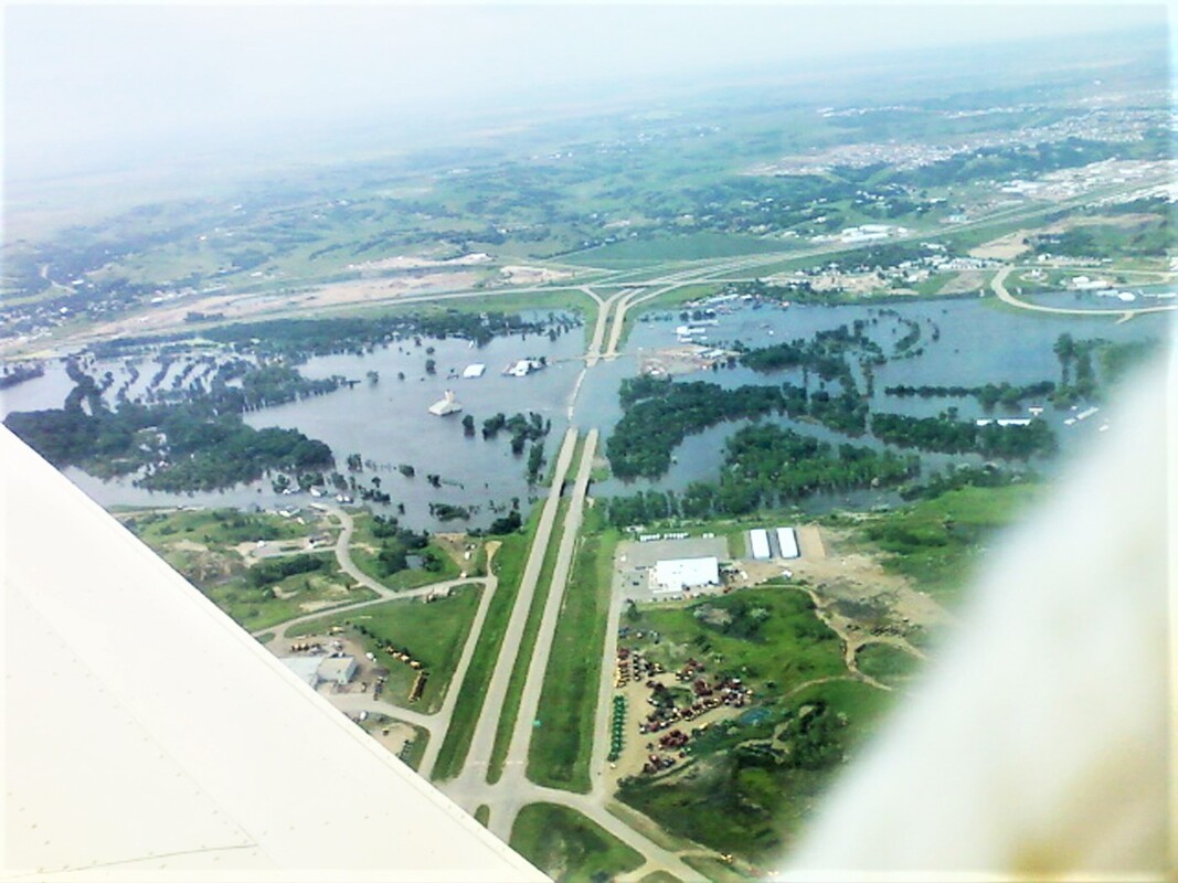
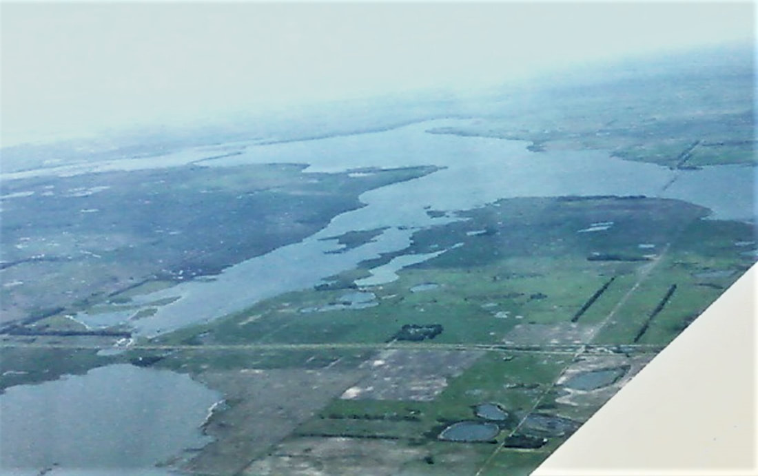
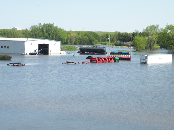
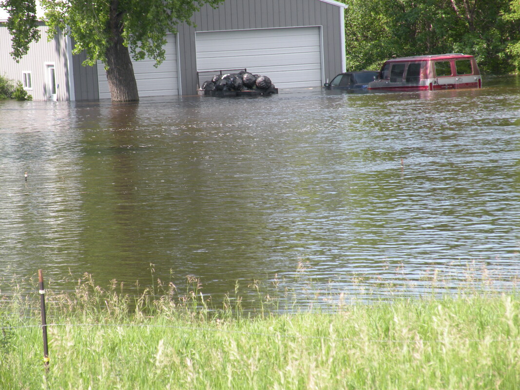
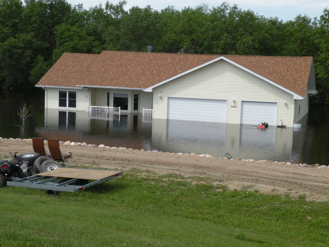
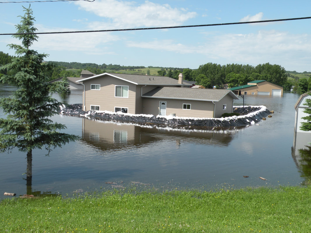
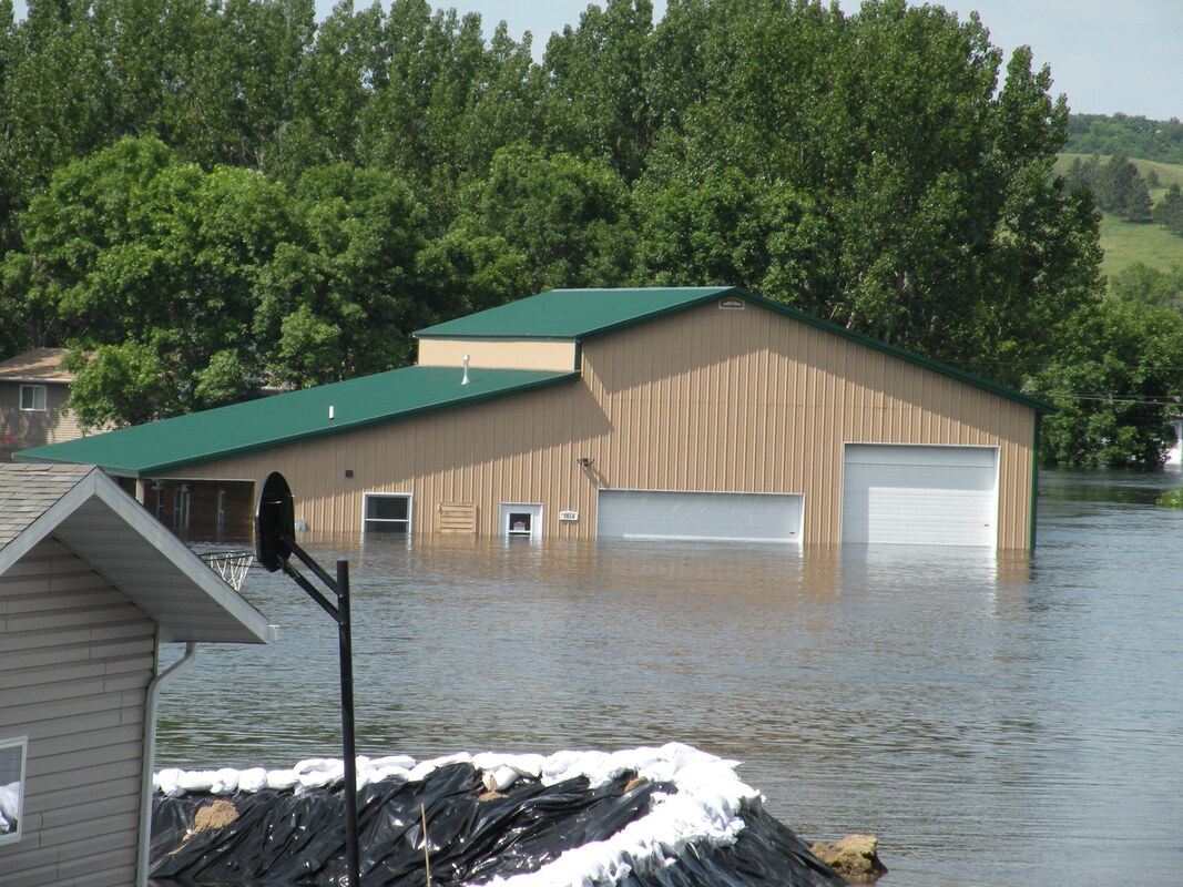
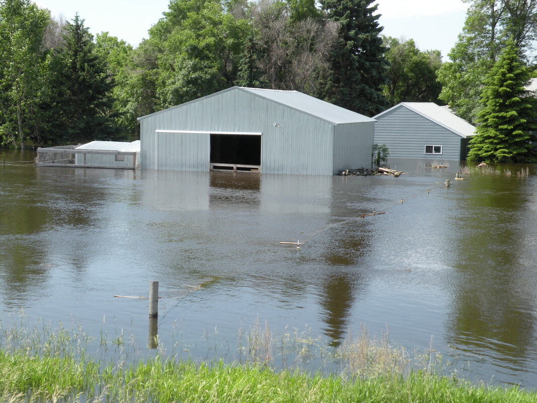
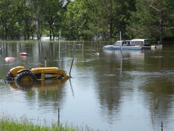
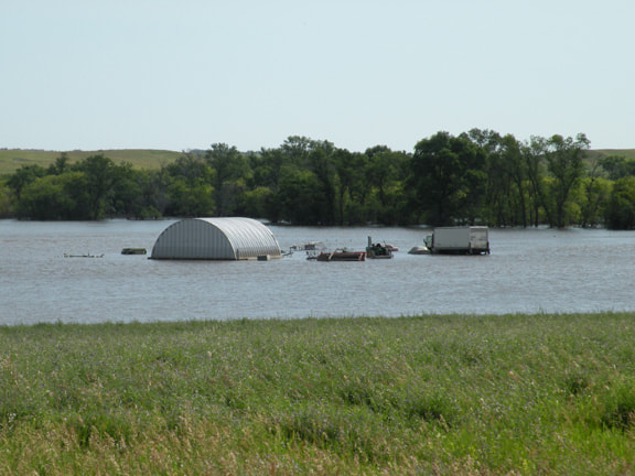
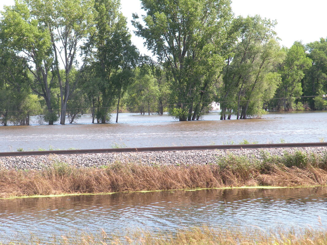
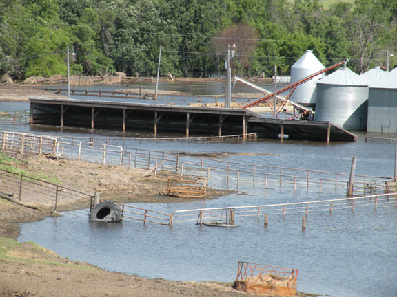
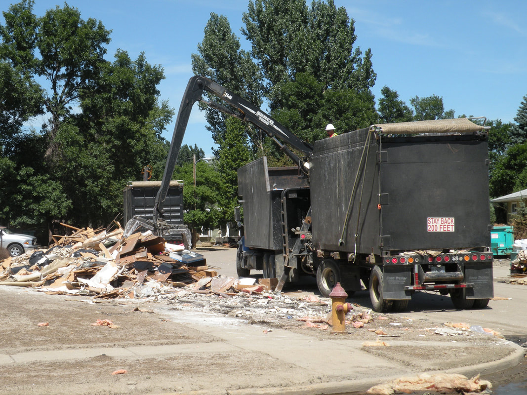
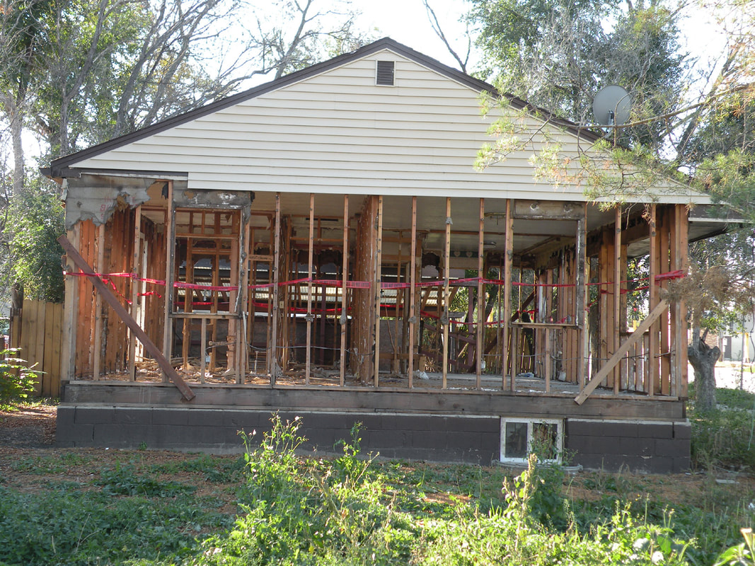
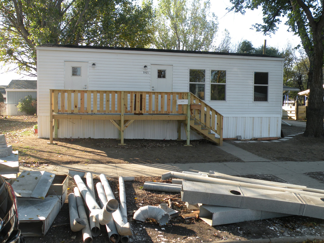
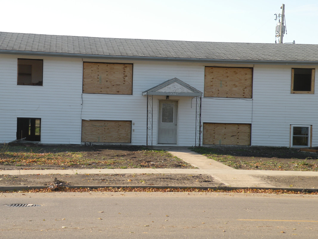
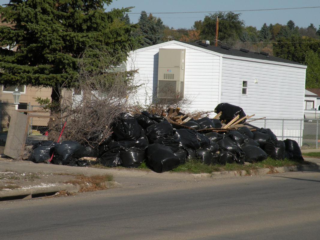
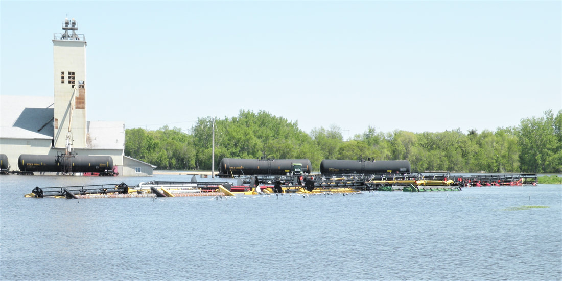
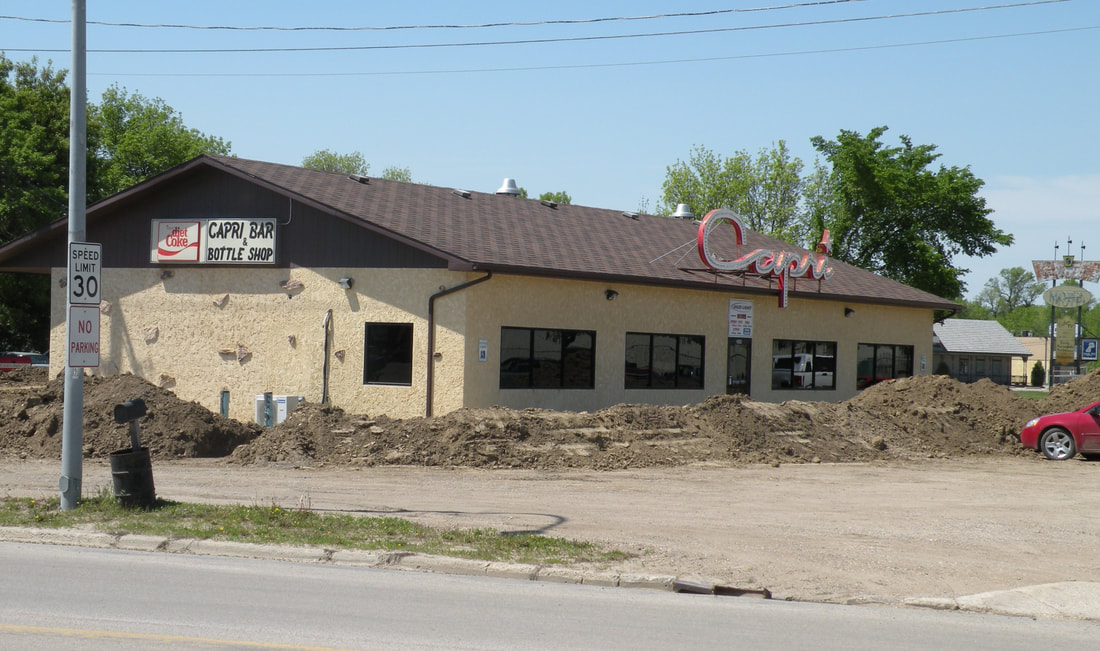
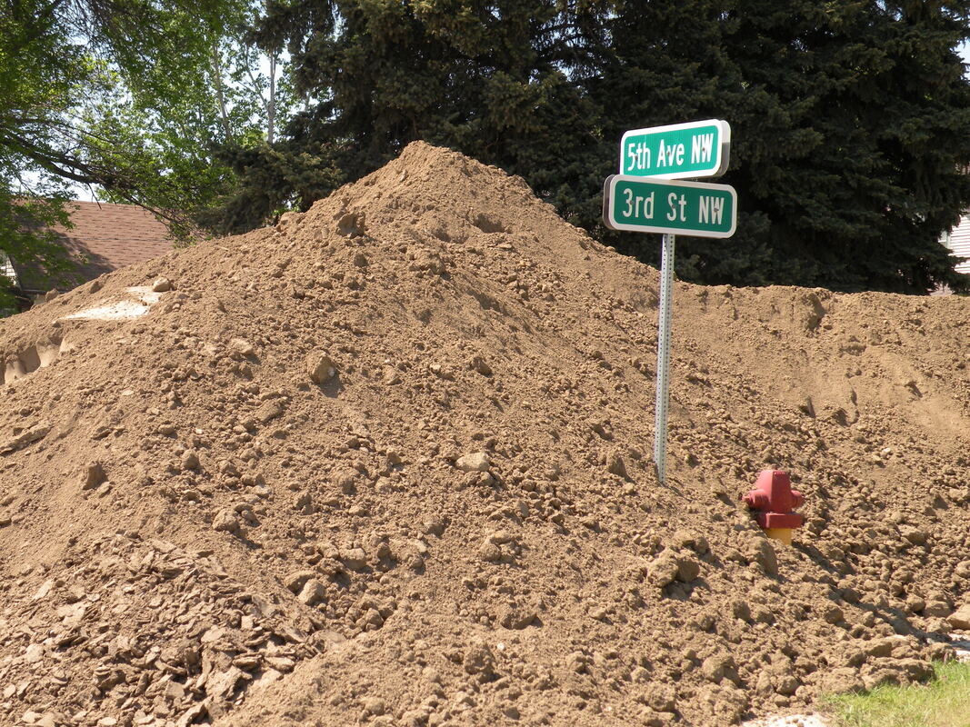
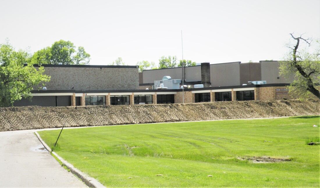
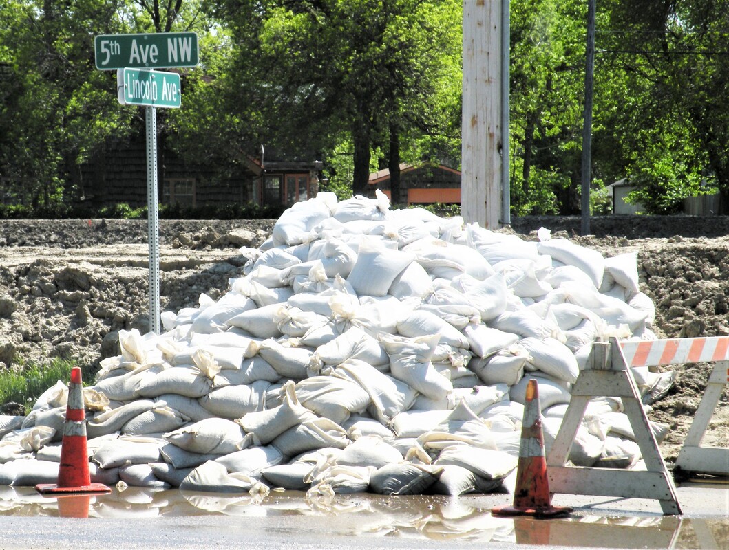
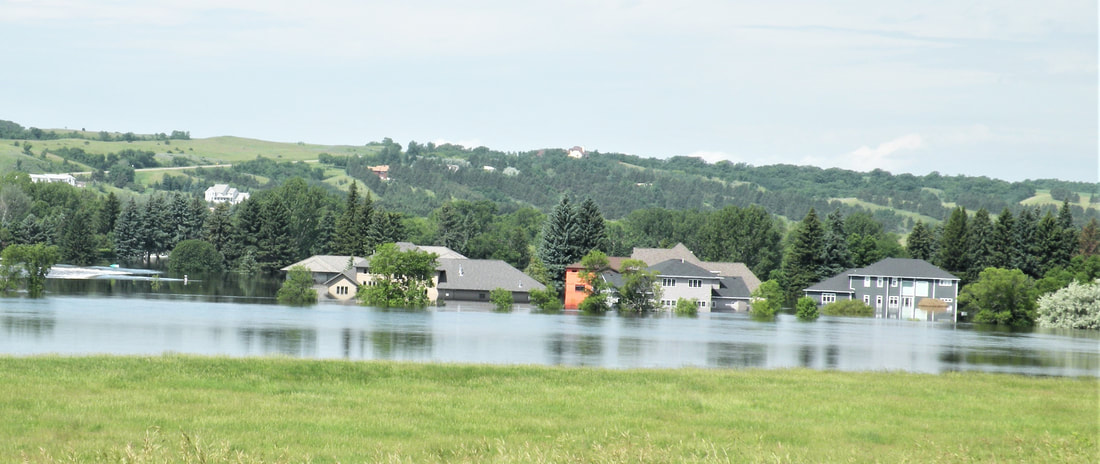
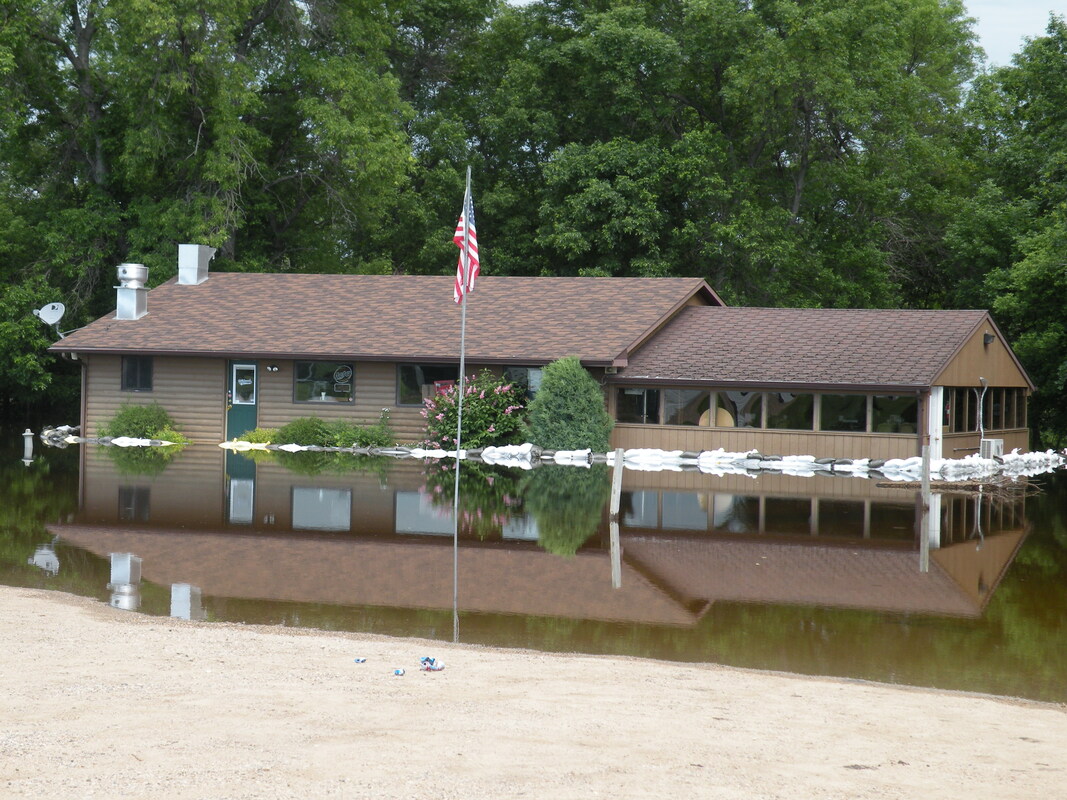
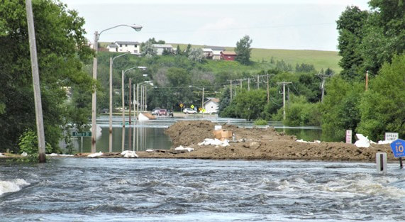
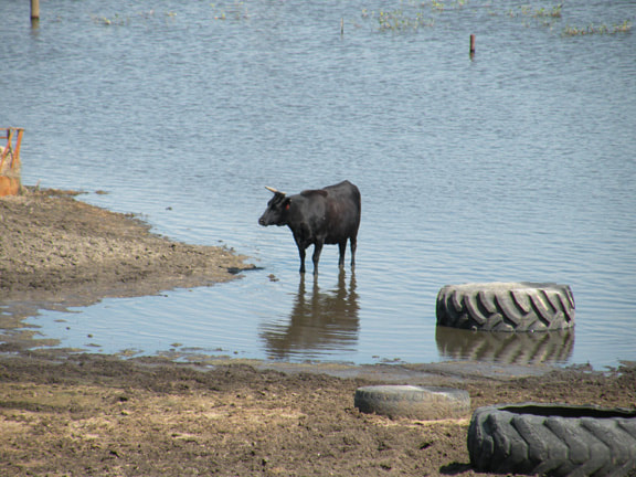
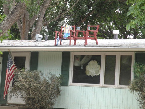
A few of the many hundreds of photos I took . . . .
Click on any photo below to view that photo!! You may also right click on any photo.


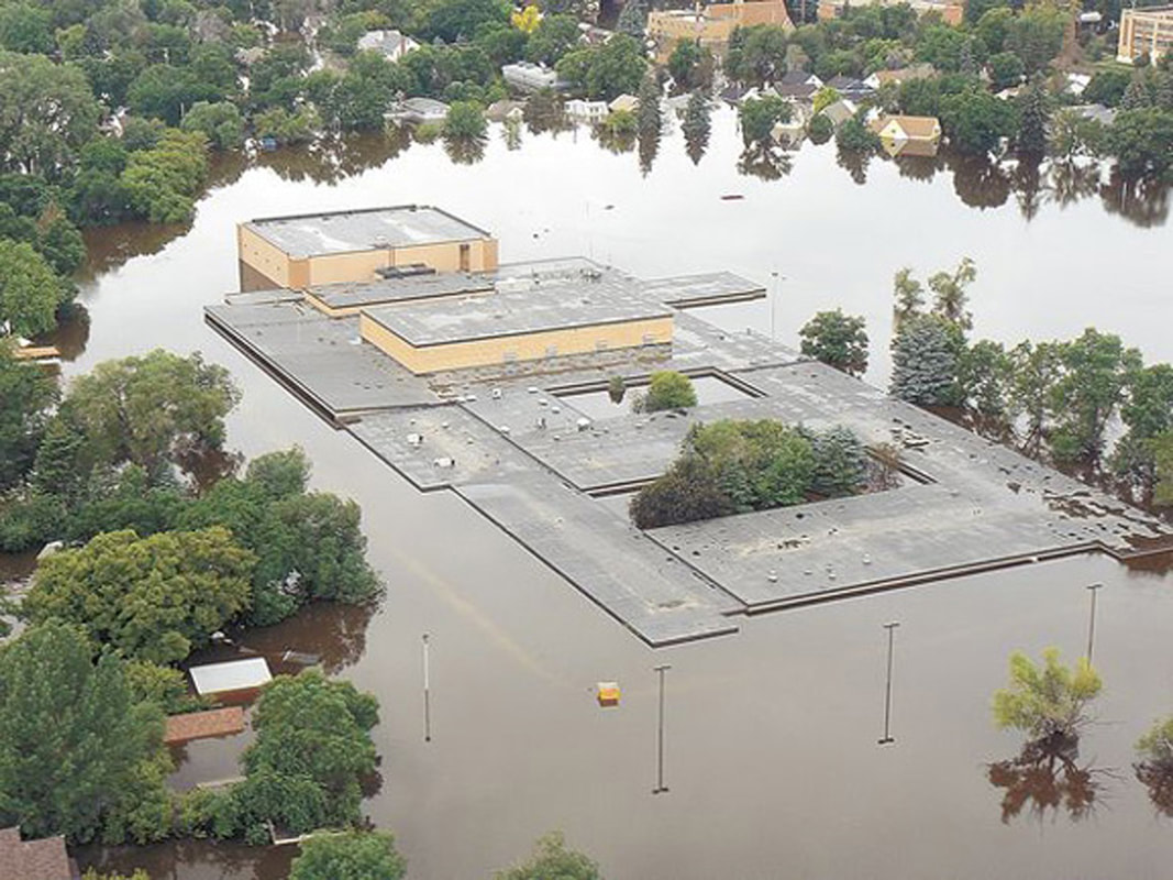


The photos below I took from a Don Bessette plane piloted by Meric Murphy